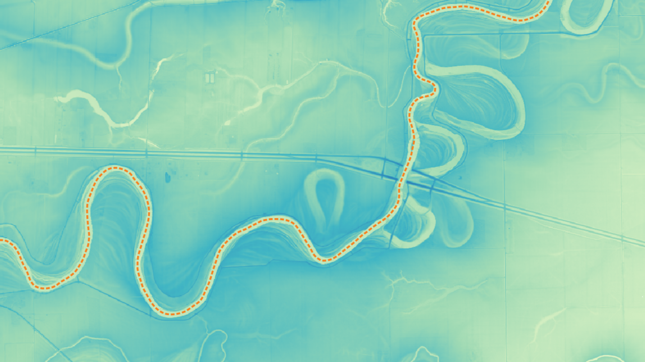
Geographic Information Systems
Outlook on my training and projects worked on using GIS software be it QGIS, ArcGIS, be it with remotely sensed data like LiDAR, or otherwise.
Outlook on my training and projects worked on using GIS software be it QGIS, ArcGIS, be it with remotely sensed data like LiDAR, or otherwise.
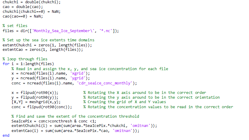
A summary of my skills in programming both through, education, working as a software developer in the past, and applying it to research.