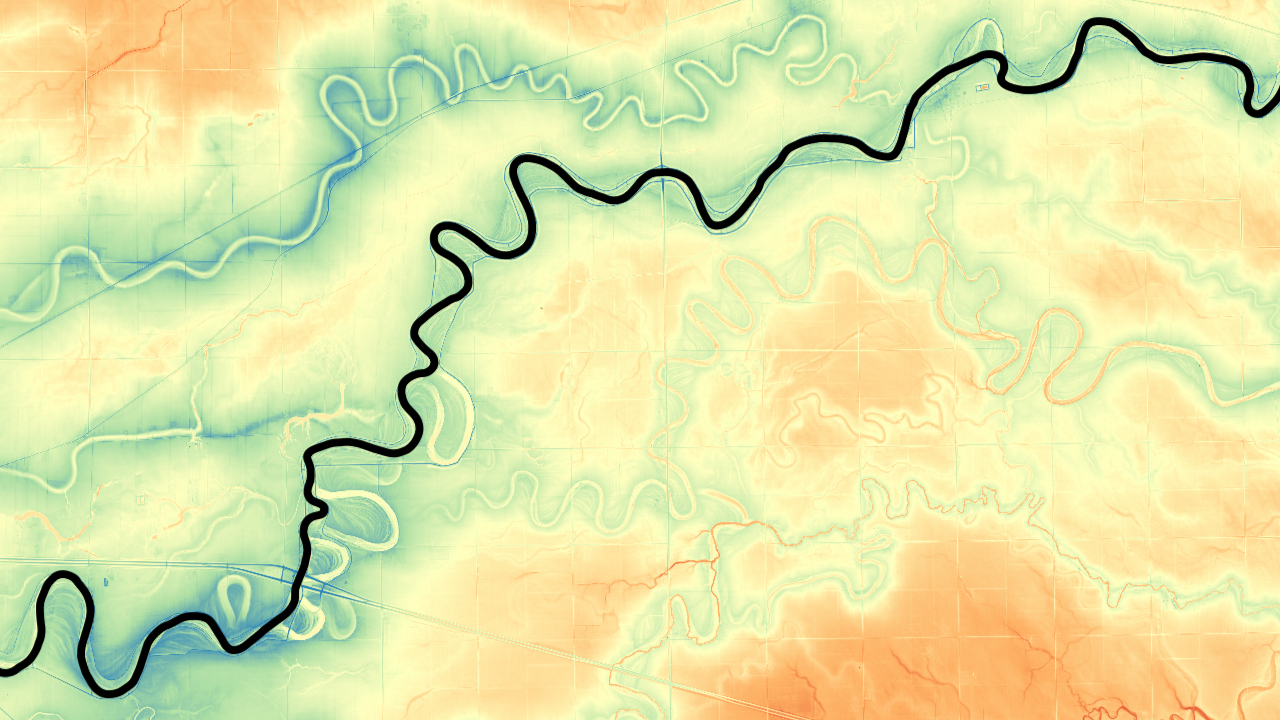
Assiniboine River Avulsion Research Project
The Assiniboine River in southwestern Manitoba appears to be at risk of avulsion-type flood from remotely sensed cross section data showing the channels superelevation above it’s surrounding floodplain.
The Assiniboine River in southwestern Manitoba appears to be at risk of avulsion-type flood from remotely sensed cross section data showing the channels superelevation above it’s surrounding floodplain.
This project seeks to locate and classify double basal channels present across the ice shelves in Antarctica, aiming to differentiate the driving mechanisms behind their formation, evolution, and their effects on the ice shelf, primarily in stability.
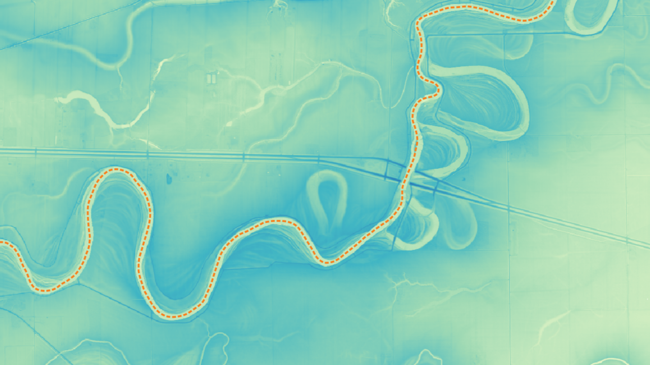
Outlook on my training and projects worked on using GIS software be it QGIS, ArcGIS, be it with remotely sensed data like LiDAR, or otherwise.
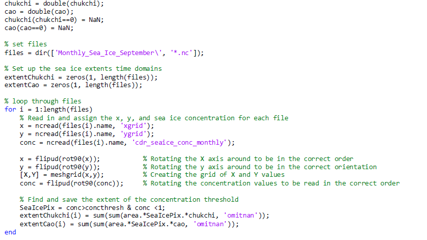
A summary of my skills in programming both through, education, working as a software developer in the past, and applying it to research.