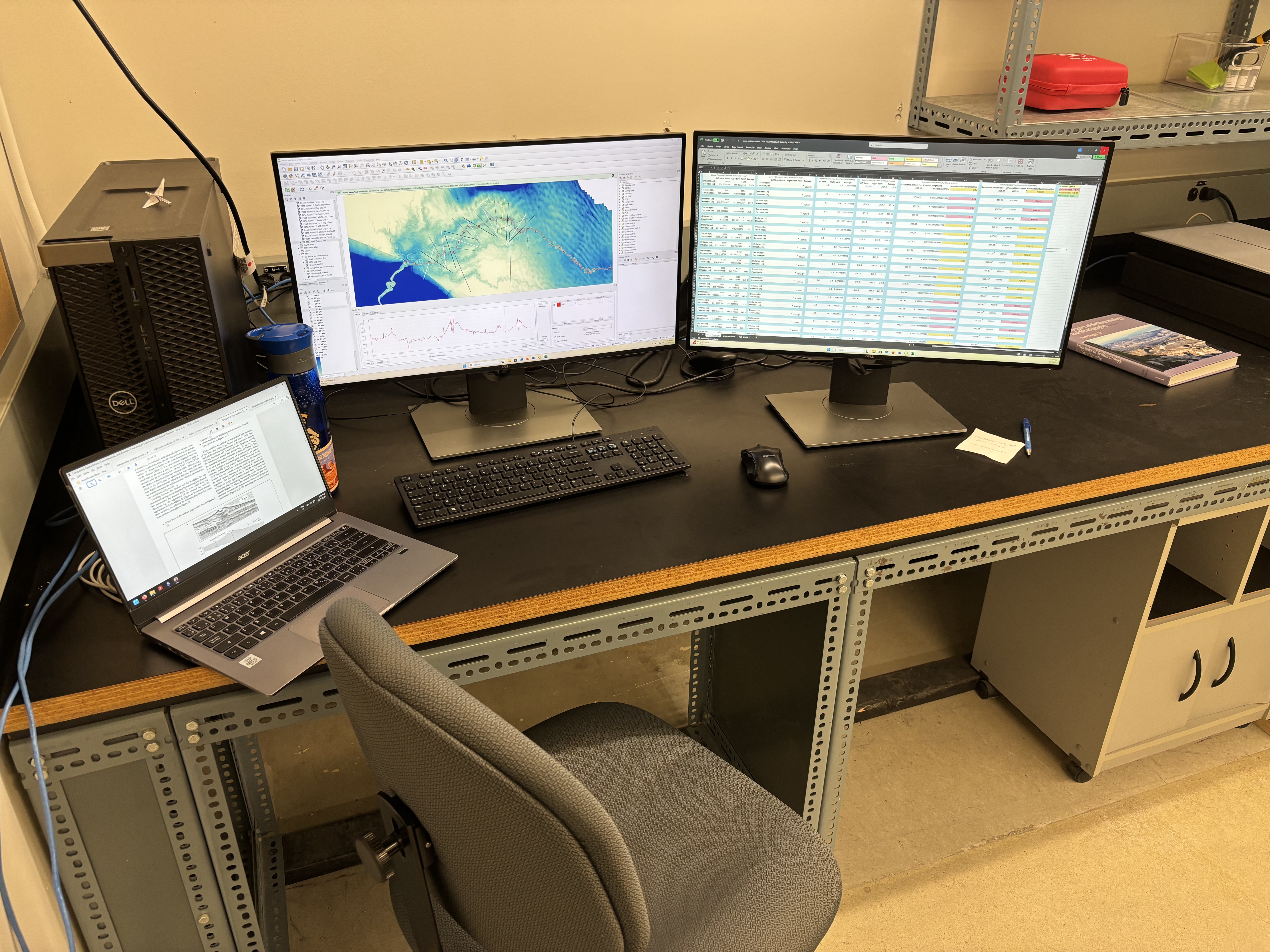
An organized look through the various GIS work I have both in courses and across research projects, demonstrating how I utilize the software to communicate spatial information.
Geographic Information Systems
Course through the University of Manitoba where I learned and applied GIS tools and fundamental principles through in class lab work.
- Utilized QGIS for several lab projects using both raster and polygon datasets, applying geo-processing tools to produce maps.
- Collected a set of GCPS using field GPS equipment to geo-rectify an aerial image to properly align it to the geoid.
- Utilized ArcGIS pro to build geo-databases to assess habitat damage and risk.
See examples of lab work here:
Assiniboine River Project
Applied GIS tools to extract high precision surface elevation data to create surface elevation cross sections of the Assiniboine River to assess the degree of superelevation.
- Used QGIS to create a mosaic of LiDAR scans of southwestern Manitoba to create a regional DEM for the project
- Applied Inverse Distance Weighting to construct a REM of the mosaic from the elevation profile of the Assiniboine River using geo-processing tools
- Using the REM used colour ramps and hillshade to identify areas to gather cross sectional data from
- Extracted cross-sectional elevation data from the clean DEM using line shape files.